Niek Jesse Speetjens will be presenting Beyond Frozen Ground: Seeing Ground Ice and Terrain Through a Different Lens.
Date: 18 June 2025 Time: 13:00-14:00 Eastern Time Location: Zoom (details are posted in our Teams site).
Permafrost science spans a wide range of disciplines and landscapes, united by a common goal: understanding the impacts of climate change on sensitive permafrost regions. Yet, there is little consensus on how to classify terrain units with similar responses to change—making cross-disciplinary and cross-study synthesis a persistent challenge. This is further complicated by the multi-scale nature of the processes we study, from fine-resolution field observations to global-scale Earth system models. To meaningfully connect these scales, we need a shared framework that unifies how we view and classify permafrost terrain across scales and disciplines.
Lucas Fuertes will be presenting A terrain-based method for snow depth prediction applied in Svalbard, Norway.
Date: 11 June 2025 Time: 13:00-14:00 Eastern Time Location: Zoom (details are posted in our Teams site).
Snow is an effective insulator, mediating the effects of climate on the ground thermal regime. Snow is also an important part of the hydrologic cycle, storing and releasing water which influences the functioning of arctic ecosystems as well as energy exchanges with the ground surface. Crucial to both processes are the properties of the snow, topography, and climate, however, models that account for all these variables are data intensive. This presentation suggests a machine learning methodology that leverages terrain-based parameters to estimate snow depths and outlines its applicability in the glacial forefield of Scott Turnerbreen, Svalbard, Norway. Such a model has potential to improve estimates of snow water equivalence across the study site and aid in quantifying the effects of snow on the underlying permafrost.
Khatereh Roghangar will be presenting Probabilistic Assessment of Thaw Settlement in Permafrost Terrain Under Climate Change.
Date: 21 May 2025 Time: 13:00-14:00 Eastern Time Location: Zoom (details are posted in our Teams site).
This presentation introduces a probabilistic methodology to assess thaw settlement in permafrost terrain under climate change, addressing the limitations of traditional deterministic models that overlook uncertainties in soil properties and climate projections. Using thermal modeling (TEMP/W) and Monte Carlo simulations, the study developed a custom Python tool to evaluate thaw settlement, serviceability, and optimized maintenance strategies.
Applied to real-world cases, the Hudson Bay Railway and Inuvik to Tuktoyaktuk Highway, the results highlight the growing variability in thaw behaviour over time and the critical role of embankment thickness in performance. By integrating probabilistic analysis into infrastructure design, this work enables more resilient and cost-effective planning for cold regions affected by permafrost degradation.
Conventional geophysical techniques like electrical resistivity, seismic surveys, or ground-penetrating radar alone often produce ambiguous results due to the overlap of material characteristics between frozen and unfrozen ground.
Detecting ground ice in permafrost is crucial for climate research and infrastructure, but traditional methods often struggle to distinguish it. This study by Hosein Fereydooni examines the dielectric properties of ground ice as a unique fingerprint. Field measurements were taken at two Yukon permafrost sites: a retrogressive thaw slump and a pingo. Comparing these with electrical resistivity and impedance results, he found relaxation time is a more reliable indicator for ground ice detection.
(a) The retrogressive thaw slump, headwall, (b) long and (c) short SIP survey.
Hosein’s team developed a method to quantify relaxation time from Spectral Induced Polarization (SIP) data measured by the FUCHS III device. The method’s effectiveness was demonstrated through synthetic data and two field surveys. SIP field measurements, ranging from 1.46 Hz to 40 kHz, were conducted on a retrogressive thaw slump and a pingo in Yukon, Canada. The extracted relaxation times were mapped to pseudo-depths obtained from single-frequency inversion. This study proposes a relaxation time range from 10 to 400 μs for ground ice, and the results demonstrate that this range can detect ground ice spectra in field studies. Comparison with observations in a borehole and an exposure of permafrost indicate that relaxation time is less ambiguous in detecting ground ice in warm permafrost than conventional methods such as electrical resistivity tomography.
(a) The pingo site and (b) the survey line with the FUCHS device.
Fereydooni, H., Gruber, S., Stillman, D., and Cronmiller, D.: Detecting ground ice in warm permafrost with the dielectric relaxation time from SIP observations, EGUsphere [preprint], https://doi.org/10.5194/egusphere-2025-1801, 2025.
Victor Pozsgay will be presenting A model of temperature inversions to correct bias in reanalysis data.
Date: 14 May 2025 Time: 13:00-14:00 Eastern Time Location: Zoom (details are posted in our Teams site).
The magnitude and frequency of slope failures in permafrost zones have increased in recent decades. Permafrost warming and thawing represent major contributing factors to large slope failures, which have the potential to damage infrastructure and pose a risk to human life and surrounding ecosystems.
I will present a simulation workflow to generate ensemble simulations of the ground thermal regime at any point globally. The model is driven by reanalysis data, which are known to poorly represent temperature inversions. Hence, I will focus on modelling temperature inversions in sub-arctic valleys where cold-air pooling is particularly intense in cold months. This framework allows for consistent and efficient production and analysis of mountain permafrost simulations in relation to slope failures. However, its main strength and appeal lie in its ability to be used globally and for a large number of sites, efficiently.
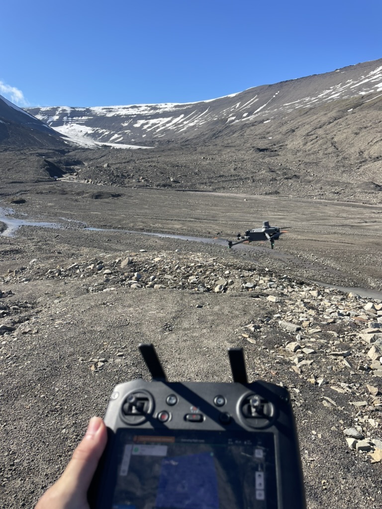
Liam Carson will be presenting Proglacial Retrogressive Thaw Slumping, Svalbard.
Date: 4 June 2025 Time: 13:00-14:00 Eastern Time Location: Zoom (details are posted in our Teams site).
The Arctic is warming rapidly, driving cryospheric changes like glacial retreat and permafrost thaw that transform proglacial landscapes. This study examines ice-cored moraine dynamics in Scott Turnerbreen (STB) and Longyearbreen (LYB) in central Spitsbergen using UAV surveys, satellite imagery, and Ground Penetrating Radar. Since 2018, STB lost 67,350 m³ of material, while LYB lost 115,252 m³, driven by larger Retrogressive Thaw Slumps (RTS). The findings highlight the impacts of ice-cored moraine thaw on geomorphology, sediment release, and hydrology, emphasizing the need for continued monitoring and predictive modelling.
Zhina Rezvani will be presenting Assessing Thaw Settlement Vulnerability of the Hudson Bay Railway in the Face of Climate Change.
Date: 23 April 2025 Time: 13:00-14:00 Eastern Time Location: Zoom (details are posted in our Teams site).
The effects of climate change are intensified in northern regions due to polar amplification. As a result, the stability and functionality of infrastructure in these areas are under greater threat than ever before. The Hudson Bay Railway (HBR), located in northern Manitoba, is a prime example of vulnerable infrastructure facing the challenges of a warming climate.
In this webinar, Zhina Rezvani will share insights into assessing the impacts of climate change on permafrost thaw, which leads to soil settlement beneath the railway embankment. Her research involves finite element thermal modeling followed by coupled thermo-mechanical modeling to simulate both the current and projected future conditions of the soil and permafrost under the railway embankment and adjacent area. The findings of this study will support HBR policymakers in making informed, strategic decisions regarding the future of the railway, whether through improvement methods, mitigation measures, or potential realignment of certain sections.
Emma Street will be presenting Exploring Traditional Knowledge of Permafrost Change in the Gwich’in Settlement Area and Inuvialuit Settlement Region.
Date: 16 April 2025 Time: 13:00-14:00 Eastern Time Location: Zoom (details are posted in our Teams site).
Rapid climate change at high latitudes is transforming permafrost landscapes: threatening infrastructure, ecosystems, and socio-cultural traditions in Arctic communities. This project seeks to better understand the implications of permafrost change in Gwich’in and Inuvialuit communities in the Canadian Arctic. Using semi-structured interviews and ethnographic mapping in collaboration with knowledge holders, the goals of this project are to (1) document Traditional Knowledge pertaining to permafrost, (2) map evidence of permafrost change in Gwich’in and Inuvialuit communities, and (3) inform responsive monitoring programs. 110 interviews have been completed for this project among the eight communities of Paulatuk, Sachs Harbour, Tuktoyaktuk, Ulukhaktok, Fort McPherson, Tsiigehtchic, Aklavik, and Inuvik. This presentation describes the Two-Eyed Seeing and community-driven participatory research.
Olivia Meier-Legault will be presentingHow can we learn more about permafrost thaw in Canada from borehole temperature observations?
Date: Wednesday 7 May Time: 13:00-14:00 Eastern Time Location: Zoom (details are posted in our Teams site).
Mean annual ground temperature (MAGT) is widely used as a key indicator of permafrost change and has long informed climate assessments. However, in the presence of melting ice, latent heat effects can dampen temperature trends, making interpretation difficult. To address this limitation, complementary metrics derived from simulations resembling borehole temperature observations have been developed and tested to show their ability to provide new information on heat gain in the permafrost column.
In this seminar, Olivia will present the application of five of these metrics on borehole temperature observations. The metrics are (1) MAGT, (2) mean annual ground surface temperature, (3) top of permafrost, (4) depth of zero annual amplitude, and (5) the thermal integral. She will cover how these metrics maximize the use of available data and improve our understanding of permafrost thaw in Canada.
Teddi Herring‘s article “Best practices for using electrical resistivity tomography to investigate permafrost” was in the top 10 most cited articles published by PPP in 2023!